
Plan Your Next Kentucky River Adventure with New GPS-Enabled Water Trail Maps
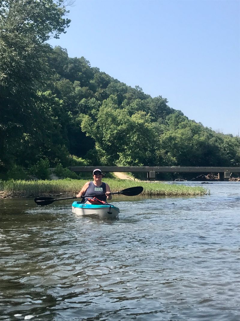
There’s a different side of Eastern Kentucky waiting to be explored. A side that winds between wooded hillsides, around quiet river bends and through the small communities that call the Kentucky River home. Visitors now have a new tool to help plan that adventure with two free GPS-enabled Water Trail Maps covering sections of the North and South Forks of the Kentucky River. Whether you're looking for a half-day paddle, a full day on the water or a longer river adventure, the maps make it easier to choose your route before you launch—and keep track of where you are once you're on the river.
Two Water Trails Leading to Beattyville
The North Fork Kentucky River Water Trail Map (Click Link for Map) begins at Douthitt Park in Jackson, Kentucky, and follows the North Fork downstream to Beattyville.
The South Fork Kentucky River Water Trail Map (Click Link for Map) begins at the Bishop Bend river beach access near the Owsley County and Clay County line and follows the South Fork downstream through Owsley and Lee counties to Beattyville.Both routes lead toward a special place in Kentucky's geography: Beattyville, where the North and South Forks come together to form the Kentucky River.
Along the way, paddlers can experience wooded hillsides, winding river bends, rock and sand shoals, wildlife, rural landscapes and long stretches of quiet water that offer an entirely different way to experience Eastern Kentucky.
Plan a Half-Day or Full-Day Paddle
You don't have to paddle the entire water trail to enjoy it. The maps identify public river access locations and mile markers along the routes, making it easier for paddlers to select a put-in and take-out and estimate the distance of their trip.
Use the mile markers and public access points to plan a shorter recreational float, a half-day paddle, a full-day adventure or a longer multi-day journey.
Remember that river mileage doesn't translate directly into travel time. Current, water level, obstacles, weather, paddling speed and time spent stopping or exploring can all affect how long a trip takes.Your Location Goes With You
These aren't ordinary PDF maps. The Water Trail Maps are georeferenced, allowing them to work with the GPS technology already built into your smartphone.
Before your trip, download the appropriate PDF map and open or import it into the Avenza Maps app. Once downloaded, your phone's GPS can display your location directly on the map—even when you're paddling through an area without cellular service.
That can be particularly helpful on Eastern Kentucky's rural waterways, where cell coverage can be limited between the hills. Download your map and open it in Avenza before leaving an area with reliable Wi-Fi or cellular service.Know Before You Go
A beautiful day doesn't always mean ideal river conditions. Before every trip, check the weather, recent rainfall, river level and flow. Water conditions can change significantly following heavy rain, and the speed and difficulty of a river trip can change along with them.
A useful trip-planning resource is RiverApp, which provides access to current river levels, flows and other river-condition information from monitoring stations.
Check conditions before you leave home, again before you launch and always paddle within your experience and comfort level.
Paddle PreparedEvery river trip requires preparation. Wear a properly fitted U.S. Coast Guard-approved PFD, carry appropriate safety equipment, protect your phone in a waterproof case or dry bag and let someone know your planned route, launch location, take-out location and expected return time.
Cell service should never be assumed along either water trail. GPS-enabled maps are an additional navigation resource, but paddlers should never rely on a single electronic device for their safety.Find Your Way to the Water
With public access points, river mileage and GPS-enabled navigation all brought together in one resource, the North and South Fork Kentucky River Water Trail Maps make it easier to turn “I'd like to paddle the headwaters of the Kentucky River” into an actual trip plan.
Choose your route. Pick your access points. Check your mileage. Check the conditions. Download your map.
Then get out and discover the Kentucky River from the best possible viewpoint—the water.
SCAN. DOWNLOAD. PLAN. PADDLE. EXPLORE.
Article Resources from Lee County Tourism!
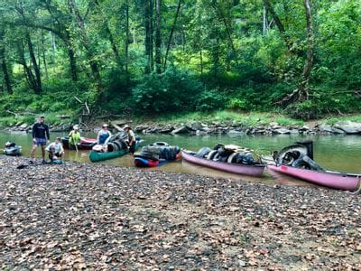
Tires, Teamwork, and a Sinking Canoe: Cleaning Up the So... Volunteers removed 63 tires, 10 contractor bags of trash, and multiple large items from the river. We also cleaned up Fish Creek Boat La...
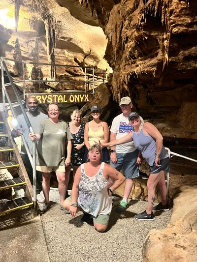
Five Nights, 20 River Miles & a Whole Lot of Caves: Labo... Labor Day weekend called for an adventure, and this year that meant five nights of camping, kayaking, caves, horses, ziplining, good foo...
A Logo Rooted in Three Forks HistoryThe Three Forks Adventure Company logo is more than a business design. It tells the story of the place that inspired the company. Create...
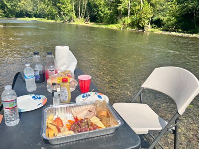
Brunch in a Mountain Stream: A Refreshing Family OutingWho says brunch has to be served inside a restaurant? In the three forks area, some of the best tables come with flowing water, shady tr...